If you removed the ocean from the climate equation, Earth would be uninhabitable.
The ocean absorbs roughly 90% of the excess heat trapped by greenhouse gases and approximately 30% of human-emitted CO₂. But it doesn’t just absorb, it moves.
Ocean currents redistribute that heat across the planet, making northern Europe 10-15°C warmer than equivalent latitudes in Canada and driving the monsoon systems that billions of people depend on for agriculture.
Here’s how the system works, and what happens when it doesn’t.
Surface Currents vs. Deep Currents
Ocean circulation operates on two interconnected levels.
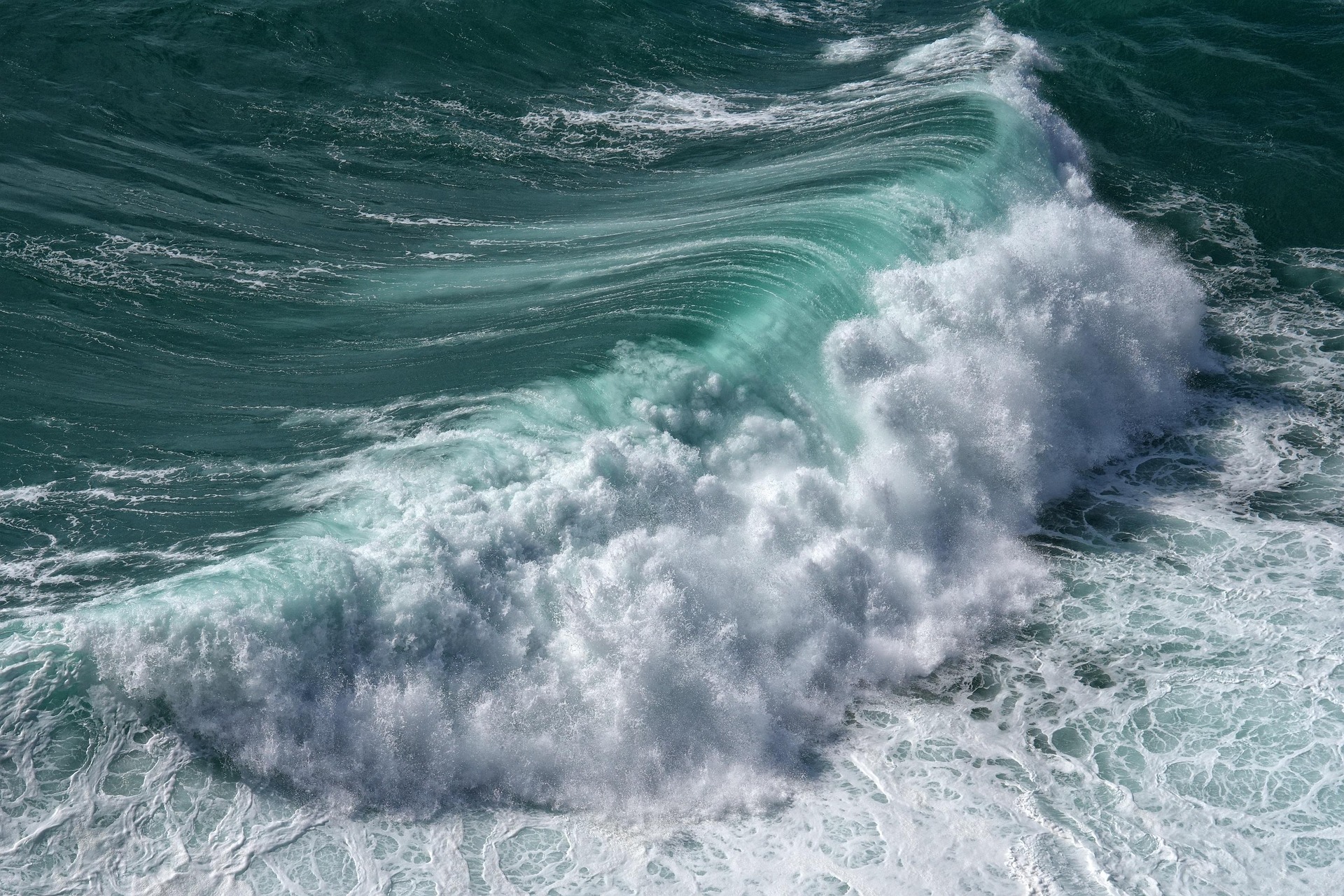
Surface Currents (Top ~400 meters)
Driven primarily by wind, surface currents follow predictable patterns shaped by three forces:
- Prevailing winds: Trade winds near the equator push water westward; westerlies at mid-latitudes push it eastward
- The Coriolis effect: Earth’s rotation deflects moving water to the right in the Northern Hemisphere and to the left in the Southern Hemisphere, creating circular flow patterns called gyres
- Continental boundaries: Landmasses redirect current flow, concentrating energy along western ocean margins (producing fast, narrow currents like the Gulf Stream) and dispersing it along eastern margins
The Gulf Stream alone transports approximately 30 million cubic meters of water per second (more than all the world’s rivers combined) carrying tropical heat from the Caribbean to northwestern Europe.
Deep Currents: Thermohaline Circulation
Below the surface, density-driven circulation moves water on timescales of centuries. This is the thermohaline circulation, a global conveyor belt powered by differences in temperature (thermo) and salinity (haline).
The process:
- Warm, salty water from the tropics flows north via the Gulf Stream
- In the North Atlantic (near Greenland and Iceland), this water cools, becomes denser, and sinks to depths of 2,000-4,000 meters
- The dense water flows south along the ocean floor, eventually reaching the Southern Ocean
- There, it mixes and gradually returns to the surface through upwelling
- The cycle completes over approximately 1,000 years

Upwelling: Where Deep Water Meets the Surface
Upwelling zones ,where deep, cold, nutrient-rich water rises to the surface, are among the most biologically productive areas in the ocean. They cover less than 5% of the ocean’s surface but support an estimated 20-25% of global fish catch, according to the UN Food and Agriculture Organization.
The Pacific Northwest coast is a major upwelling zone. Key facts:
| Feature | Detail |
| Primary driver | Seasonal northwesterly winds push surface water offshore via Ekman transport |
| Active season | April through September |
| Upwelling depth | Brings water from 100-300 meters to the surface |
| Temperature drop | Surface temperatures can fall 5-8°C during strong upwelling events |
| Nutrient effect | Delivers nitrate, phosphate, and silicate that fuel phytoplankton blooms |
| Ecological result | Supports fisheries for salmon, halibut, sardines, and anchovies |
When upwelling weakens, as it does during El Niño events, the ecological consequences cascade through the food web. Phytoplankton productivity drops, zooplankton populations decline, and fish stocks shift northward or into deeper water.
The AMOC Question
The Atlantic Meridional Overturning Circulation (AMOC), the Atlantic branch of the thermohaline conveyor, has emerged as one of the most closely watched indicators in climate science.
Multiple studies published between 2023 and 2025 suggest the AMOC has weakened by approximately 15-20% since the mid-twentieth century. A 2025 study in Nature Climate Change used deep-sea sediment cores to confirm that the current weakening is unprecedented in at least 1,600 years.
Why this matters:
- Western Europe: A significant AMOC slowdown could reduce average temperatures in the UK and Scandinavia by 3-8°C over decades
- West Africa: Altered monsoon patterns could reduce rainfall across the Sahel, threatening food security for hundreds of millions
- North America: Sea level rise along the U.S. East Coast would accelerate (the AMOC’s flow currently pulls water away from the coast; weaker flow means higher water levels)
- Marine ecosystems: Reduced deep-water formation in the North Atlantic would starve deep-ocean ecosystems of oxygen
Whether the AMOC faces a gradual decline or a sudden collapse (a “tipping point” scenario) remains actively debated. The IPCC Sixth Assessment Report considers a complete shutdown before 2100 “very unlikely” but acknowledges that regional impacts from even partial weakening would be severe.

What Connects Currents to You
Ocean circulation isn’t an abstraction. It determines whether European winters are mild or brutal. It controls whether fish stocks off Oregon are abundant or depleted. And modulates how fast sea levels rise along populated coastlines.
The research community is investing heavily in real-time monitoring: programs like the RAPID array (a network of instruments spanning the Atlantic at 26.5°N) now provide continuous measurements of the AMOC’s strength for the first time in history.
For a closer look at how these oceanic forces shape the specific ecosystems of our region, read our guide to Pacific Northwest marine ecosystems. And for context on how changing ocean chemistry ties into the broader pollution picture, see our piece on the global plastic pollution crisis.